-40%
USGS IDAHO GEOLOGY of GARNS MOUNTAIN Teton, Bonneville, Madison County COLOR MAP
$ 8.44
- Description
- Size Guide
Description
HUGE COLORFUL MAP!!This is USGS Bulletin 1205,
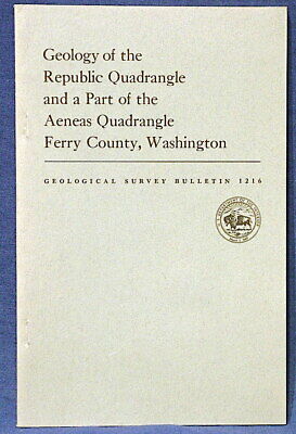
Geology of the Garns Mountain Quadrangle, Binneville, Madison, and Teton Counties, Idaho
. This 122-page report published in 1966 discusses the complex geology of this range in eastern Idaho, and parts of the adjoining Snake River plain. It comes complete with the huge full-color map that is over four feet tall, and an additional map showing geologic structures in the same area. The map covers a huge area west of Driggs, Idaho.
All the formations of this area are described in the text, as well as the structural relations and folding, which are all important aspects of the area. The geology consists of folded and thrusted sedimentary rocks ranging from Paleozoic to Mesozoic in age, with later formations present in the Snake River canyon area. The color map is incredibly detailed and beautiful It looks like they tried to use very color possible. The area is also noted for phosphate rock and some coal.
This is a great, extensive report on this huge area. If you are interested in Idaho geology, this is one for you! Don't miss it. It's 122 pages of good fun!
Expert packing assured. The recent increase in postage rates was pretty big. As a result, Media Mail is now my default shipping method to keep shipping affordable.
Visit my store,
Rockwiler Books and Minerals.
I will continue to add items to my store, so check back frequently.
®
ROCKWILER


