-40%
USGS JEFFERSON, MILLIGAN LAKES COLORADO Two Geologic Maps, PARK & SUMMIT Co 1987
$ 6.28
- Description
- Size Guide
Description
TWO ADJOINING MAPS!!Here is a very nice pair of adjacent geologic maps The Jefferson map is directly north of the Milligan Lakes map, with Jefferson about in the middle of it all.
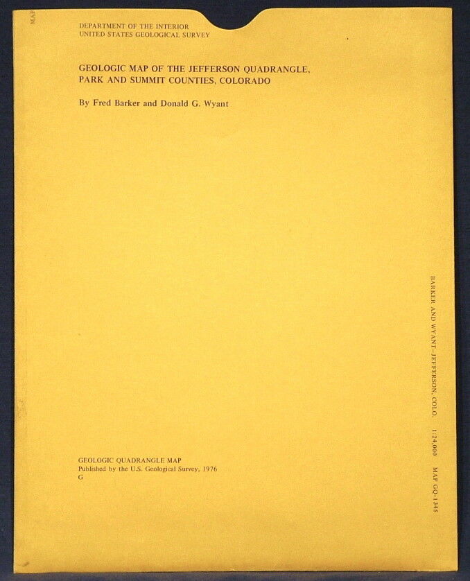
The first is USGS map GQ-1345,
Geologic Map of the Jefferson Quadrangle, Park & Summit Counties, Colorado
. Published in 1976, this is a nice item depicting the interesting geology of this area. This 7.5-minute quadrangle map is colorful, and really would look nice f
ramed.
Formations range in age from Precambrian to Jurassic through Tertiary and include a wide range of rock types, including ancient metamorphic and igneous rocks, including pegmatites, and complexly folded and faulted younger
sedimentary
rocks and later volcanic rocks. A nice cross section makes the geology come alive.
The North Fork Platte River is in the north part of the map. The town of Jefferson is at the south end of the map.
All in all, this is a cool, colorful map that would look great on the wall of a home or business in the area, or just kept for study and enjoyment. Measures about 31 x 32 inches (W x H).
The second is USGS map GQ-1343,
Geologic Map of the Milligan Lakes Quadrangle, Park County, Colorado
. Published in 1976, this is a nice item depicting the interesting geology of this area. This 7.5-minute quadrangle map is also very colorful.
Formations in this area also range in age from Precambrian to Jurassic through Tertiary and include a wide range of rock types, including ancient metamorphic and igneous rocks, and complexly folded and faulted younger sedimentary rocks and later volcanic rocks. A nice cross section makes the geology come alive.
Measures about 31 x 33 inches (W x H).
The Paleocene South Park formation is on both maps, and in other areas is noted to contain
well preserved fossil
leaves
that were used to determine the age of the formation.
All in all, these are really nice maps that look great and would be great framed together or separately. It is a great pair to get together at a reasonable price.
See my other listings for many more Colorado maps and reports and well as hundreds of other related items. I will continue to add new items to my sto
re, so check back periodically.
Expert packing assured. The recent increase in postage rates was pretty big. As a result, Media Mail is now my default shipping method to keep shipping affordable.
Visit my store,
Rockwiler Books and Minerals.
I will continue to add items to my store, so check back frequently.
®
ROCKWILER
