-40%
USGS WESTERN KENTUCKY FLUORITE ZINC LEAD DISTRICT Rare 1905 Report with MAPS
$ 23.76
- Description
- Size Guide
Description
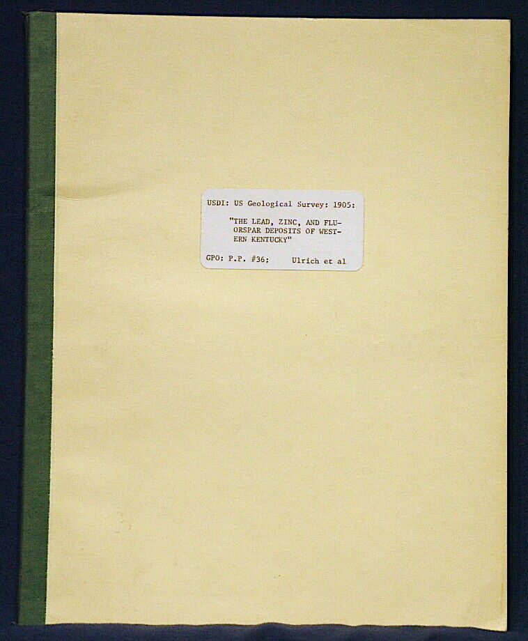
SCARCE VINTAGE REPORT!! OVER 100 YEARS OLD!!This is USGS Professional Paper 36,
The Lead, Zinc, and Fluorspar Deposits of Western Kentucky
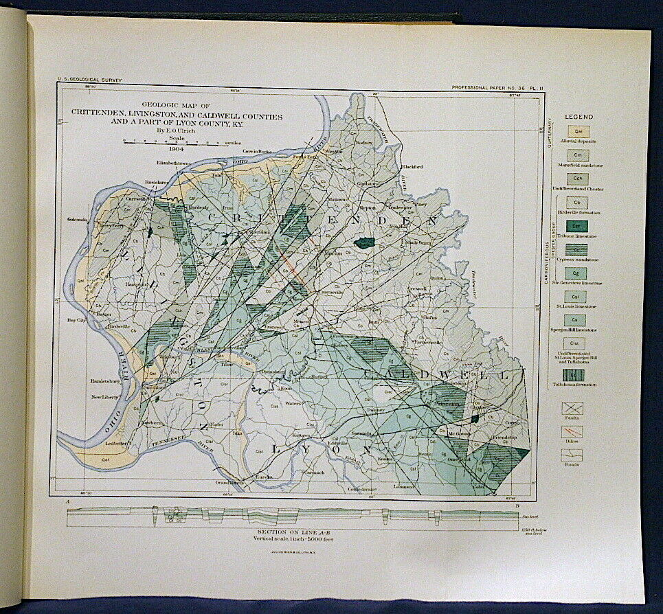
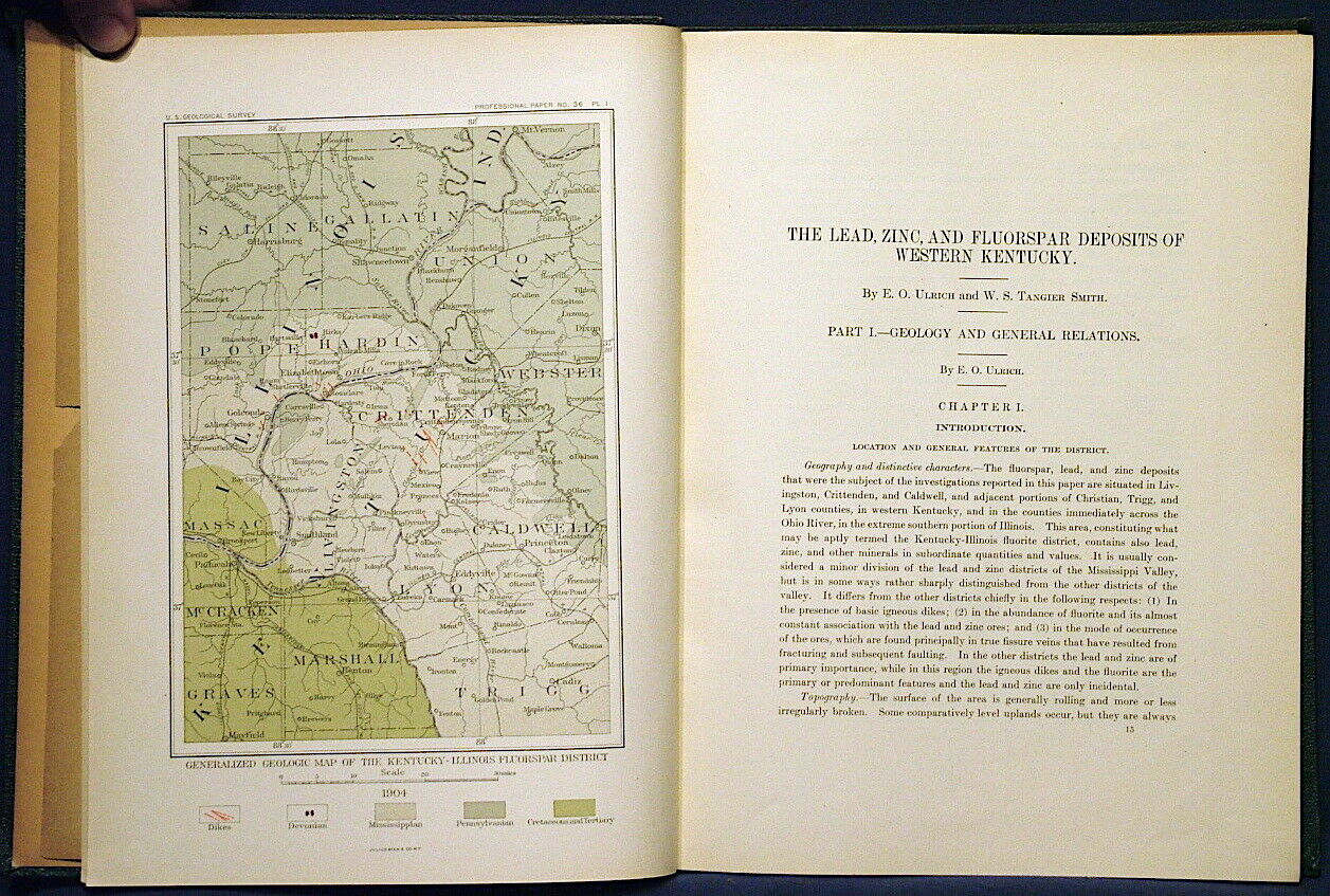
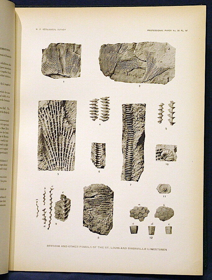
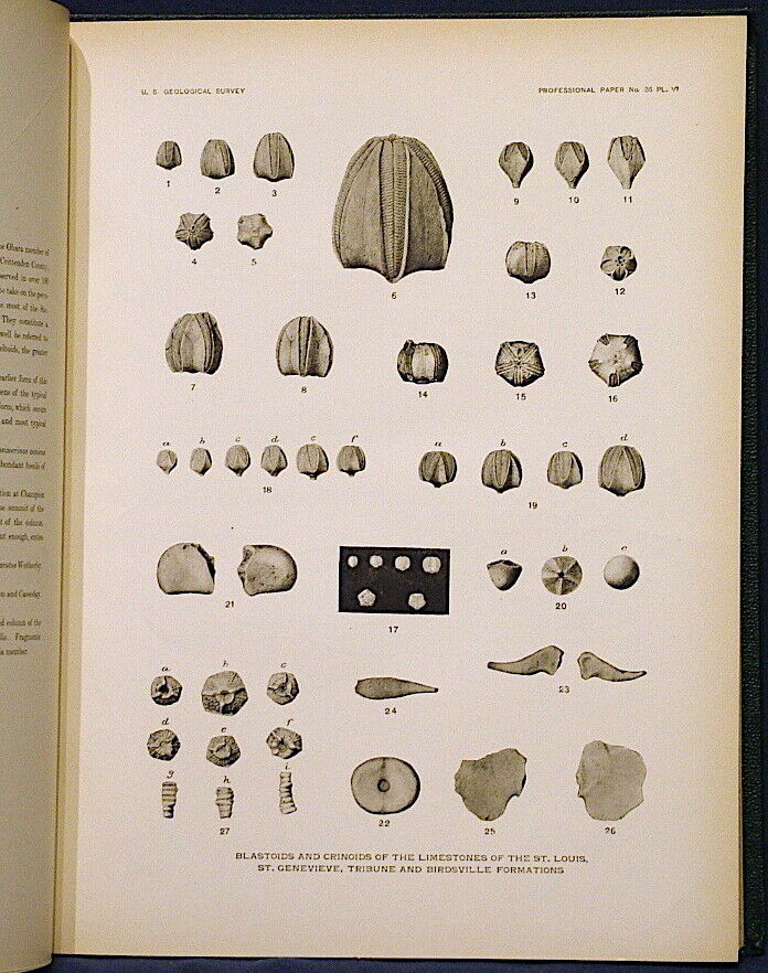
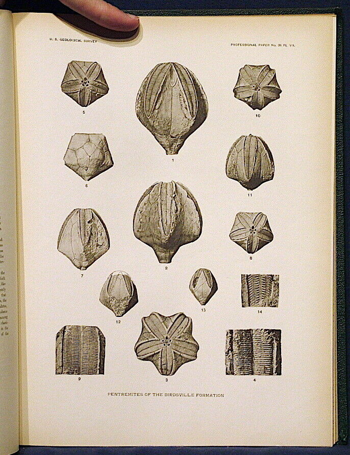
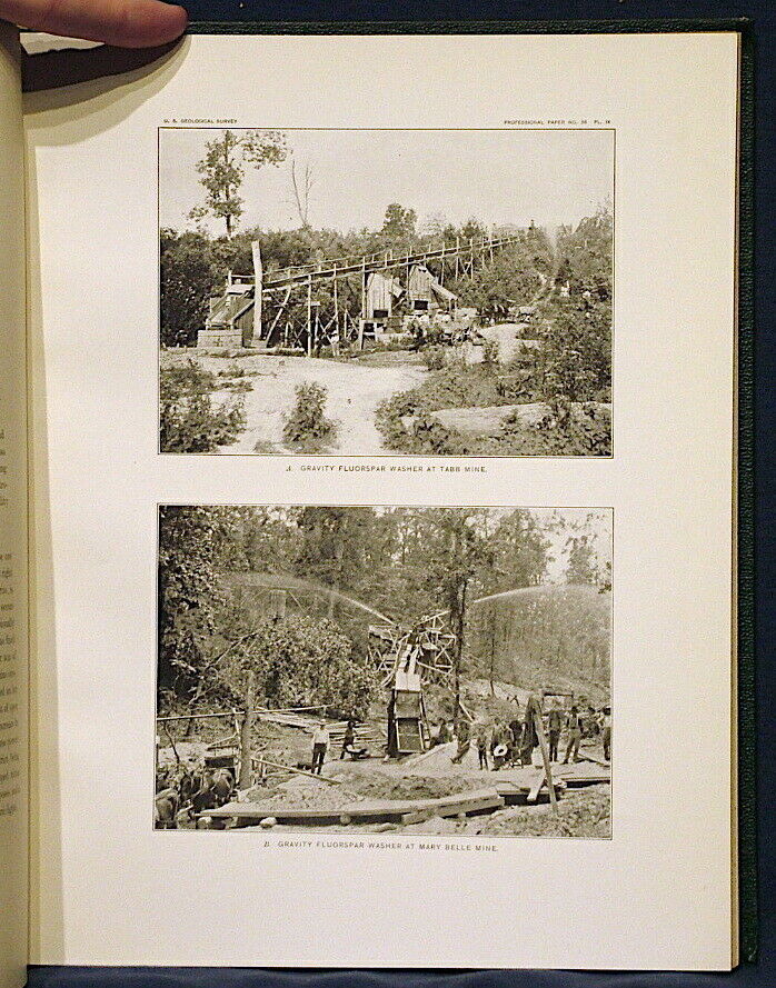
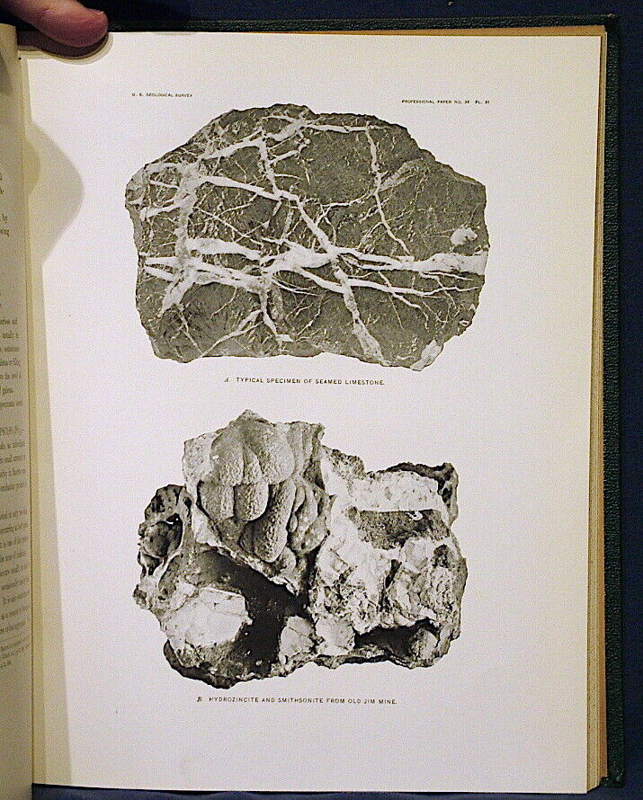
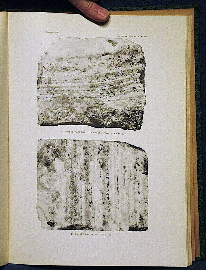
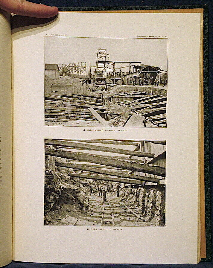
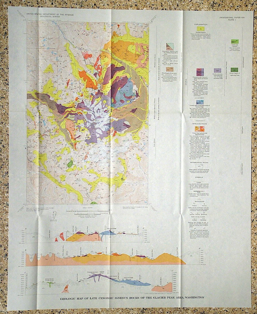
. Published in 1905, this 218 page book comes with all three full color geologic maps, two of which are large fold out maps. there are also five plates of photos of fossils from the formations in the area, and many photographs, plus numerous maps and diagrams of the geology and mine workings. It is a treasure trove of information on this lesser known mining region.
These were originally in soft covers, but the original covers were printed on awful acidic paper that degraded and often damaged the text. This one was rebound before the damage took place, and is very well preserved as a result. You would be hard pressed to find a better one. Note that some photos are from a previously sold example that was not in as good condition. This one is better and no obvious damage present in the photos is actually present in this one.
This work covers the geology of the various sedimentary formations important to the regional context, and the various faults and the numerous peridotite dikes that occur in some of the mine areas. Several commodities were mined in the area, including fluorite, zinc, lead, and barite. Minerals mentioned in the text include:
Fluorite (white and purple)
Sphalerite
Smithsonite
Cerussite
Barite
Quartz
Galena
and probably some others I missed.
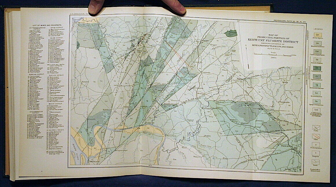
The color maps are very nice vintage style maps and are in very good condition. Photos include mine sites, processing facilities (which look quite -pre-industrial, rock samples, and other features of the area. The fossils of the area are quite interesting and might be worth collecting for addition to a fossil collection. Numerous mines are mentioned and a complete list would be very lengthy. The larger full color map has names and locations for
158 mines and prospects spread across nine districts
. This map covers from a southerly loop of the Ohio River southeast to the Princeton area, an area of about 20x30 miles. There are descriptions of many of the mines in the text.
This is a great old report on this once important mining area. It should be of interest to local residents, historians, geologists, and the like. A scarce item you will not see again in a long time.
Expert packing assured. Shipping weight is three pounds. The recent increase in postage rates was pretty big. As a result, Media Mail is now my default shipping method to keep shipping affordable.
Visit my store,
Rockwiler Books and Minerals.
I will continue to add items to my store, so check back frequently.
®
ROCKWILER
